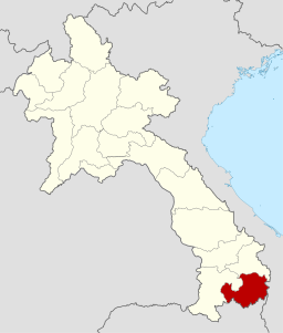
Attapeu is the southern most province in Laos and shares a border with Sekong in the North, Champasack in the West, Vietnam in the East and Cambodia in the South. The Bolaven Plateau is located in the Champasack Province and easily accessed from Pakse.
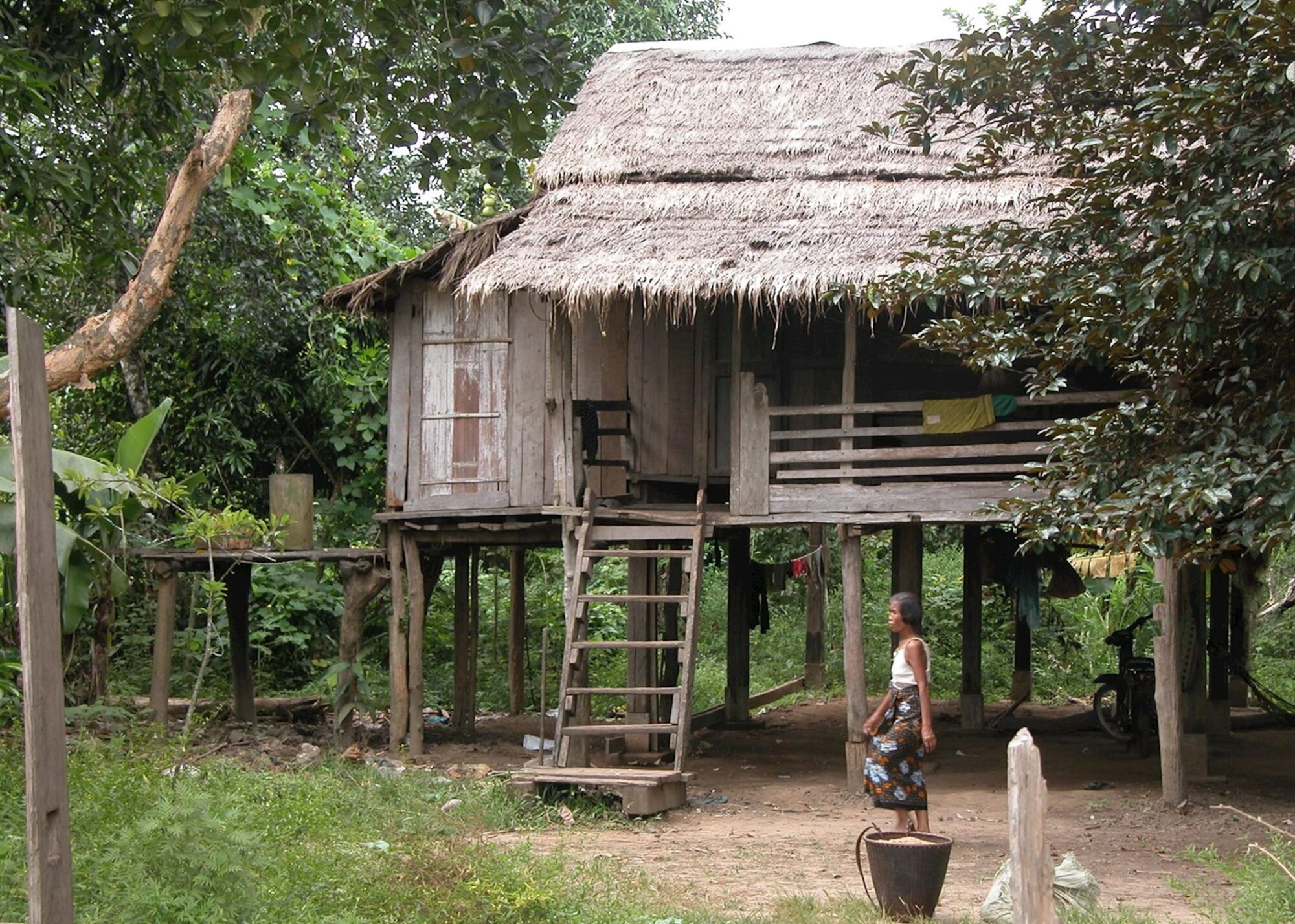
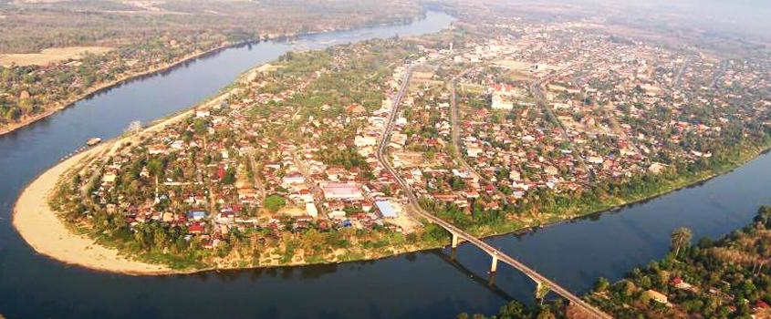
Attapeu is where one can find many minority people. Nine major tribes are in Attapeu: Alak, Katang, Kaleum, Katou, Suay, Nge, Lave, Tahoy, Nyajeung. The capital town, Samakkhixay is built in a large picturesque valley surrounded by mountains and the loop upstream. Attapeu Province is rugged, wild and very scenic. Parts of the Ho Chi Minh Trail can be explored from Attapeu, although using a local guide is essential. In the early morning you can visit the traditional market, where many different minorities go to buy and sell their products.
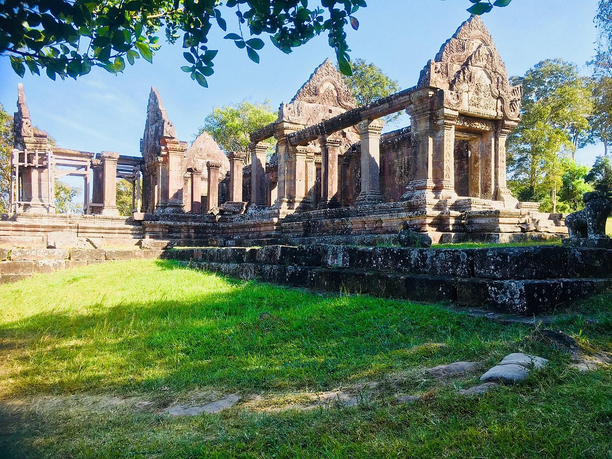
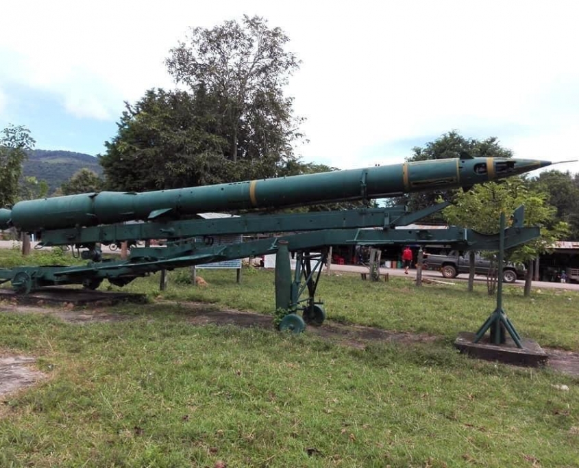
It has a rich history dating back to the Lane Xang Kingdom in the 16th century, as evidenced by the ancient stupa That Saysetthathirath, which local people believe to house the remains of King Sayasetthathirath. In more recent history, the province became known as the “Land of Heroism” for its strong role in the revolution. There is evidence of the war remaining today, mostly concentrated in the eastern part of the province along the Ho Chi Minh Trail. Attapeu is well-known for its diverse population of Mon-Khmer speaking ethnic groups that still practice traditional livelihoods and swidden farming under a variety of ecological conditions. Some of the main ethnic groups are the Lavae (Brao) located in Phouvong District, the Oy found mostly at the edge of the Bolaven Plateau, the Tailiang in Attapeu town and the Alak located in the eastern parts of Attapeu Province near the border with Vietnam.
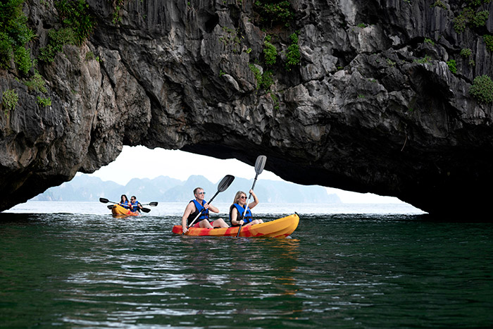
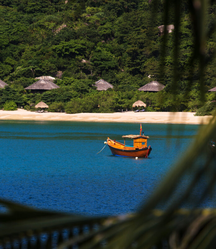
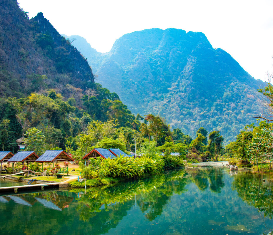
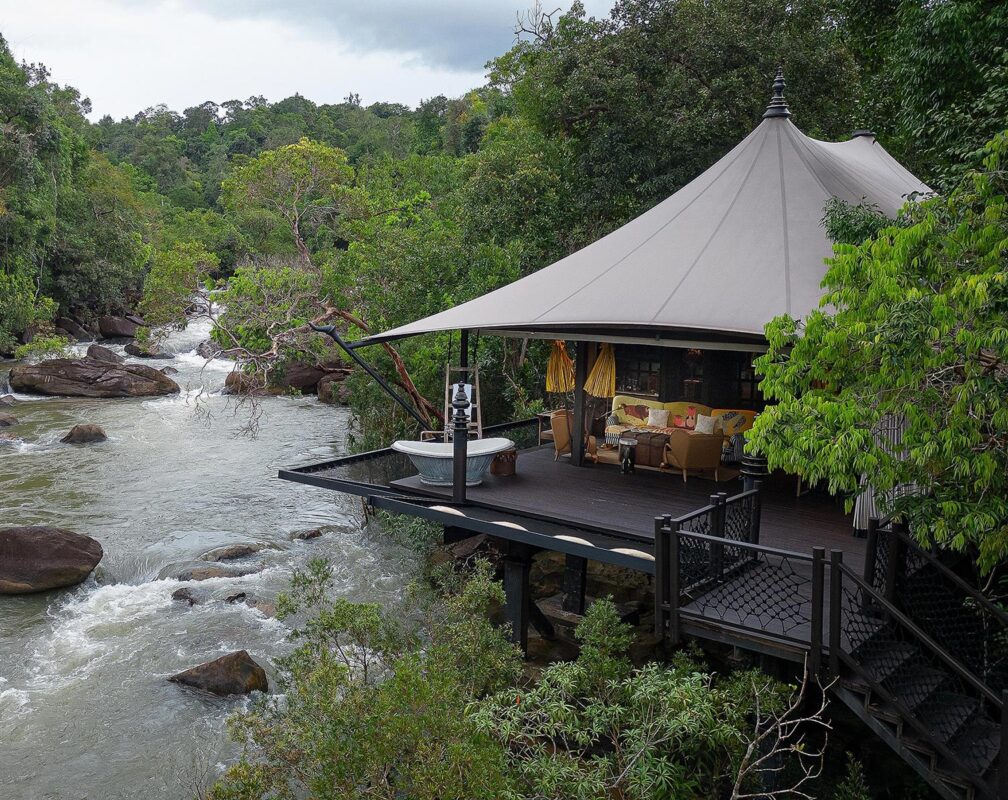
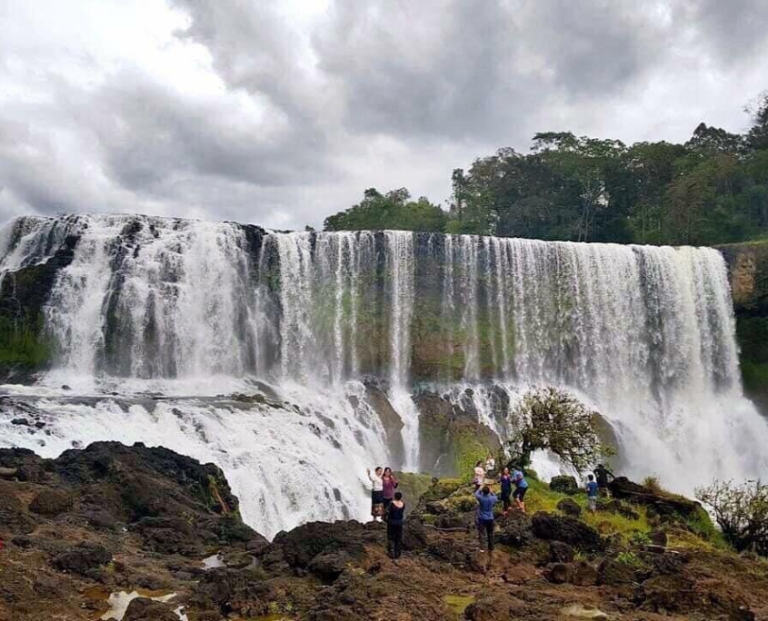
Nature abounds in Attapeu Province. There is an extensive river network which includes the Xekong, Xe Kaman and Xe Xou Rivers. One can travel the Xekong River along the border of Cambodia and then up in the Xe Pian River with access to Xe Pian National Protected Area (NPA). There are three waterfalls along the Xe Pian River. Tad Saepha, Tad Samongphak and Tad Saeponglaican, which can be reached by foot or by boat with a local guide. Tad Phapong, a waterfall on the Xe Xou River is accessible by trekking or boating and is noted for its many colorful rocks that line the riverside.
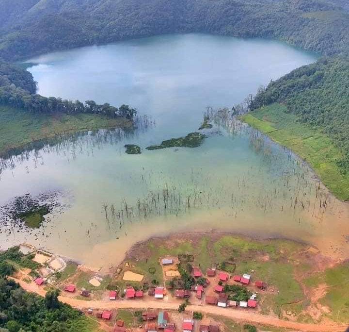
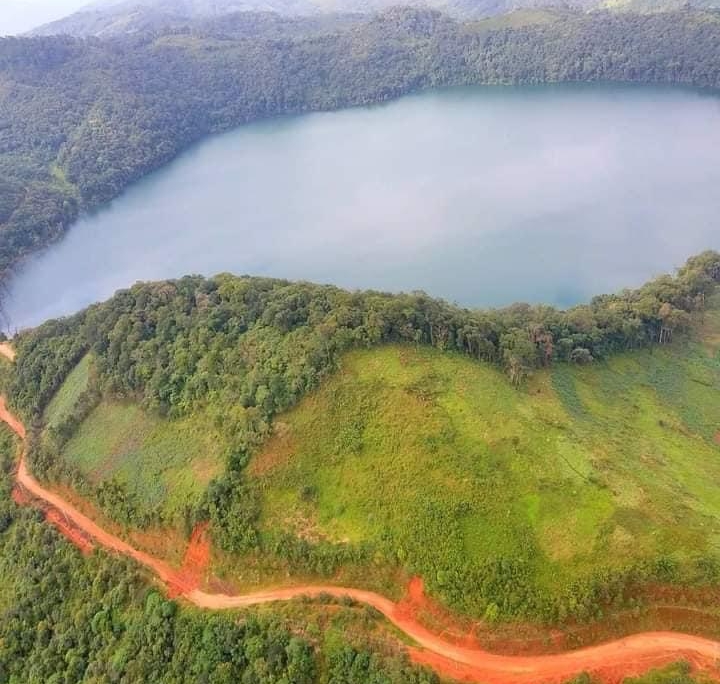
Dong Amphanh NPA, located in the province’s north-east quadrant covers 1,975 km2 and has elevations ranging from 120 – 2,052 meters. The area is inhabited by a variety of rare and endangered species, including the buff-cheeked gibbon, Asiatic golden cat, clouded leopard, tiger, elephants and Trong Song muntjac. Some of Attapeu’s 280 bird species include the Siamese fireback, crested argus, the woolly-necked stork and rufous-winged buzzard. A remote and little known crater-lake called Nong Fa is the largest crater-lake in the country and has beautiful clear waters surrounded by pine forests. Exploration of these remote and beautiful area is possible with local guides.
The ancient art of traditional pottery is still practiced in Attapeu, including the production of large vessels used to hold rice wine called lao hai, Also unique are the crafts of the Taliang people which include weavings, bamboo baskets, bows and arrows, pipes and jewelry.
The main festivals of Attapeu belong to its many ethnic groups. Festivals of note (typically celebrated in February) are Boun Kin Ard of the Alak, Taliang and Ye groups and Boun Kin Aleub of the Lavae and Oy groups.